About the July 2020 heavy rains
1 Overview of the earthquake
A linear precipitation zone was formed around the southern part of the prefecture from half a night on July 3, and the amount of precipitation in one day was about one month in July. The 12-hour precipitation from the morning of July 4 was the highest in the history of observation at 9 points in the south of the prefecture [Kuma River system (Yamae, Isshochi, Hitoyoshi, Kamitaragi, Yunomae Yokotani), Taura, Minamata, Ushifuka]. did.
A large amount of rain that fell over a wide area flowed into the Kuma River and caused a large inundation, and also caused landslides in Minamata, Ashikita, and Amakusa.
In addition, the intermittent and extremely heavy rains from July 6th to the early morning of 8th caused flooding of rivers and landslides in the northern part of the prefecture.
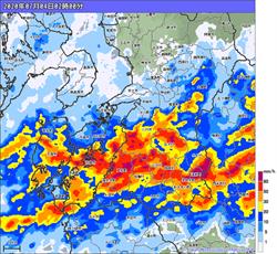
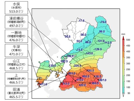
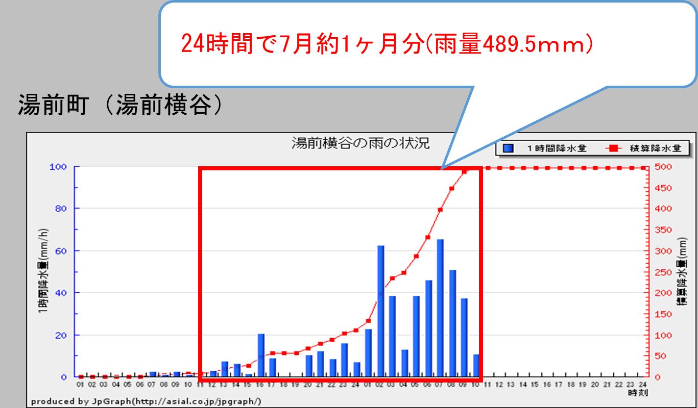
2 Summary of damage
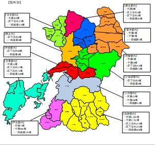
The July 2020 heavy rains caused flooding of rivers and sediment-related disasters in various parts of the prefecture, causing flooding and collapse of houses, public civil engineering facilities, and lifelines, mainly in the southern part of the prefecture.
The number of human casualties in the prefecture is 65 dead, 2 missing, and 51 seriously injured.
In addition to the damage to more than 7,300 houses, the damage to infrastructure facilities such as national highways 219, JR Kyushu Hisatsu Line and other roads and railways that are indispensable to the lives of citizens of the prefecture, commerce and industry, tourism, agriculture, forestry and fisheries has also occurred. rice field.
The amount of damage in the prefecture is estimated to be about 522.2 billion yen based on interviews with disaster-affected local governments and related organizations and estimation of the damage situation.
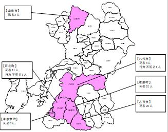
| Human damage | The number of people |
|---|---|
| Deceased | 65 people |
| Missing | 2 people |
| Injured | 51 people |
| Dwelling damage | The number of damaged buildings |
|---|---|
| Completely collapsed | 1,491 buildings |
| Half collapsed | 3,098 buildings |
| Flooding on the floor | 292 buildings |
| Underfloor flooding | 426 buildings |
| Partially collapsed | 2,069 buildings |
| Category | Cost | Notes |
|---|---|---|
| Buildings (Housing-related) | 1,554億2,718万円 | 住家、家財(宅地は含まない) |
| Water supply facilities | 3億212万円 | 送配水施設、浄水施設、取水施設 |
| Medical / welfare facilities | 68億3,173万円 | 医療施設、社会福祉施設等 |
| Public civil engineering facilities | 1,512億9,967万円 | 道路、橋梁、河川、海岸、港湾、下水道等(国直轄分は含まない) |
| Educational facilities (excluding cultural property) | 33億8,649万円 | 学校、社会教育施設等 |
| Other public facilities etc. | 21億6,379万円 | 県有施設、市町村庁舎、公営住宅、自然公園施設等 |
| Public Transportation | 291億2,683万円 | 鉄道、路線バス等 |
| Agriculture, Forestry and Fisheries | 1,019億4,478万円 | 農地・農業用施設、山地崩壊、農林水産物等 |
| Commerce and Industry | 699億6,900万円 | 建物・設備等 |
| Cultural properties | 18億4,000万円 | 国指定、県指定、市町村指定及び国登録文化財 |
| Waste disposal facilities | 234億4,802万円 | し尿処理施設、災害廃棄物処理費用 |
| Total | 5,222億3,960万円 |